Uttar Pradesh, Uttarakhand, and other parts of northwest India is likely to see widespread rain and thundershowers from Thursday for a couple of days, India Meteorological Department said.
The well-marked low-pressure area over northwest Madhya Pradesh and neighbourhood areas with the associated cyclonic circulation is persisting.
It is likely to move slowly north-northwestwards during the next 12 hours and gradually recurve northeastwards across south Uttar Pradesh.
It is interacting with the trough in mid-latitude westerlies and such interaction is likely to continue till September 17.
There is a possibility of intensification of the well marked low pressure area into a depression over southwest Uttar Pradesh around September 16.
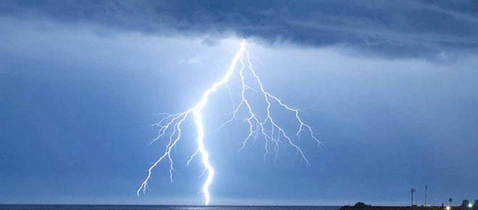
Under its influence, widespread light/moderate rainfall with heavy to very heavy rainfall and thunderstorm/lightning is likely over Uttarakhand and Uttar Pradesh on September 15 and 16.
Isolated very heavy rain is likely over northwest Madhya Pradesh today; Isolated heavy falls likely over east Madhya Pradesh today; northwest Madhya Pradesh on 16th and over Uttarakhand & West Uttar Pradesh on September 18.
Widespread light/moderate rainfall with isolated heavy falls and thunderstorm/lightning very likely over Haryana and East Rajasthan today; Himachal Pradesh on Friday and Saturday. Isolated very heavy rainfall also likely over East Rajasthan on Thursday.
Widespread light/moderate rainfall with isolated heavy rain and thunderstorm/lightning very likely over Saurashtra & Kutch today; Bihar on Thursday and Friday; Gangetic West Bengal on Thursday; Sub-Himalayan West Bengal, Sikkim and Gujarat on Thursday and Friday.